

DuPz0r
-
Content Count
6519 -
Joined
-
Last visited
-
Days Won
294
Posts posted by DuPz0r
-
-
Same. This is getting long. I have work in the middle of the night, so if i get no sleep, i want it to be for something worth while.
-
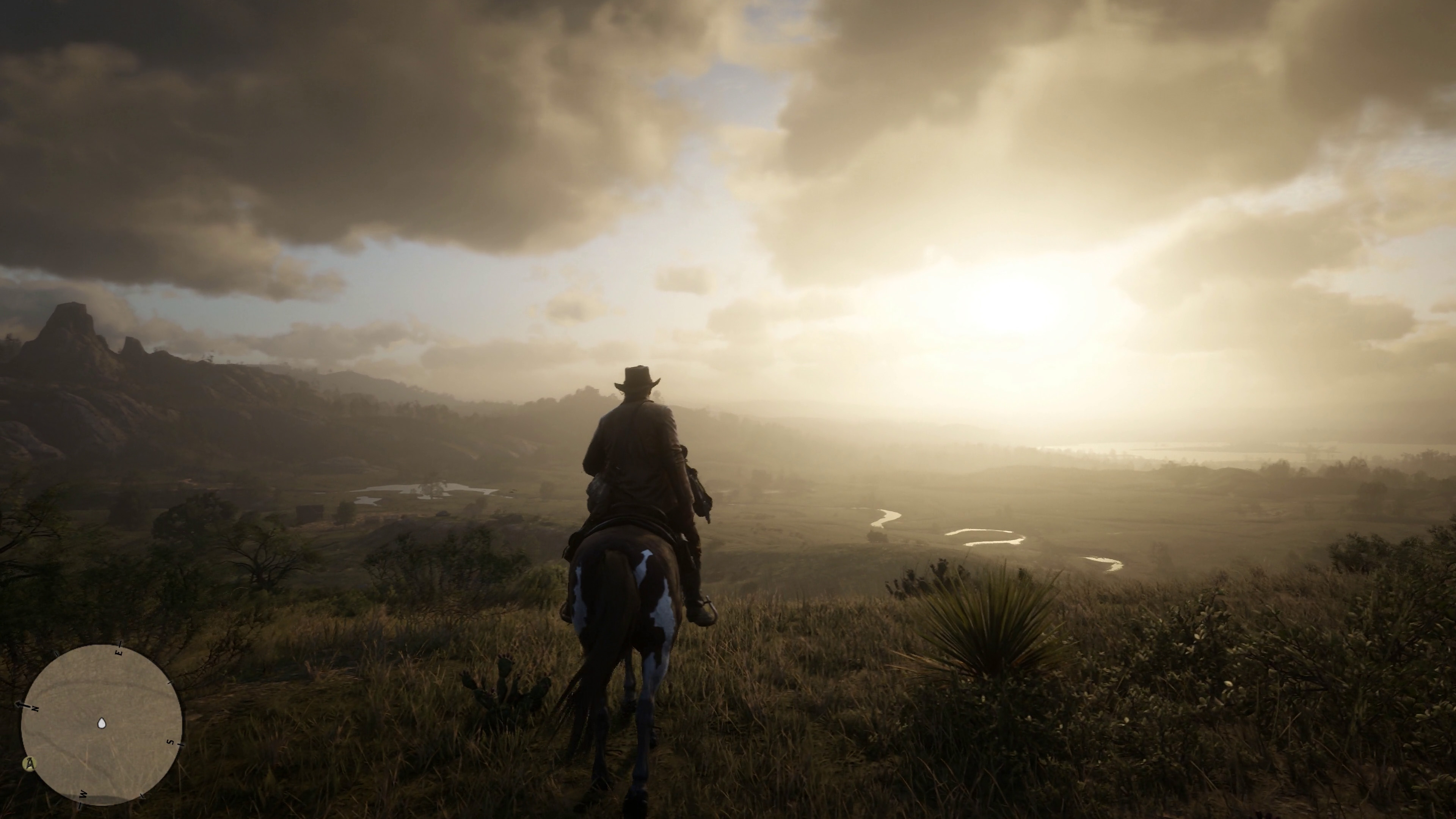
Oh shit Jack Marston. Wasn't expecting to see him for some reason.
-
'Williamson looks like Trevor Philips' Great, Great Granddaddy!
Does look badass lol
-
-
I think we're getting the build-up now in image form, instead of an official announcement. I guess is depends how many gang members are left. One every half hour, so it could be later... 10-11pm?
Unless they announce a trailer at the end. But that wouldn't be as fun.Lol Bill has a kill count carved into his Gun Butt!
-
Well yeah, and that. But i think today is the day!
I might need to go rest my eyes, because i wont be sleeping very well tonight. We may have more mapping to cover!
-
There's a feeling i'm getting, that R* are leading us up to something. After the gang artwork, i think we're going to get a new trailer.
-
I'd say they come from actual spots in the game, but they've been played around with too much to be usable in the mapping analysis.
Micah looks like a true badass in that artwork.
-
R* are posting these every 30 minutes or so. They're coming in thick and fast!

-
 4
4
-
-
Hmm yeah, the way they worded that feels like the Grizzlies are in WE.
But would it sound right if they said: 'Last seen heading North into the GRIZZLIES, New Hanover, from BIG VALLEY, West Elizabeth.'
Sounds like a bit too much information for one sentence, but it could be either/or...
Think we'll see a new Trailer this coming week?
-
Oh shit yeah.
-
If the pointy rock is the 'Balsam Rise, then the river runs around it then back towards the east. So that means, the Beaver Hollow Hideout/Camp should be visible in one of these two shots. Can we establish which camp it is from the gameplay footage? Is there any camp scenes we've seen with a river running beside it?
Nice idea about the Irish character, could be interesting if they introduced some McReary's into RDR as well!
-
I tried to outline the river line in the blue. It looks like it runs off screen to the left which is North then is should weave between the mountains and behind balsam rise to the East. The camera is facing East/NE so we're seeing it run from the North to the South in that section of the river. That's how it looks to me anyway.
And what we can see on the far right (which is cut off on my image) Is most likely Tallulah Jetty, and prison Island out to sea.
I feel like R* have really tried to hide Emerald Ranch from us so far, for whatever reasons.
-
1
-
-
I'm not sure. I actually think Emerald Ranch is actually behind the hill to the right on the top image, and behind Arthur in the image below. I feel like we're looking at something much closer to that Roanoke River. If you look closer at the settlement, i think i can even see train carriages to the right of the house. Might be the Railrad Camp? That rock we keep seeing might actually be part of the Balsamic Rise, and Annesburg is along the coast behind the other hill in the background.
-
23 hours ago, ViceMan said:I've looked for that a few times, it should appear in both of these shots but it doesn't as far as I can see.
If you are talking about the dead tree hill in your main pic that is, it's definitely somewhere in the heartlands since you can see the same shocker profile. Perhaps this is another example of a living world that progresses over time; that tree starts off dead but slowly grows back which would explain why we can't see it anywhere else - it's just another tree.
Am i the only one that didn't make this connection before...? ^ It just dawned on me that we can see all the way to the second river across to the east of the heartlands! I thought it was much further back, behind all those hills.
So what does that tell us about the map scale? And what settlement is it we're looking at here? Or is that a different body of water all together? Dewberry Creek?
Is that what you've been trying to tell me Vicey?
-
2
-
-
Hmm what if what we are looking at is actually a hill where it's marked Larned Sod? It could be taller off-screen to the right. The leaked map is old, and some of the stuff could be missing in it. It might in-fact be the exact spot Arthur is standing on with his horse looking down at courthouse and jailhouse rock (real world names for those rocks)...
-
11 hours ago, TreeFitty said:These two have the same ruins on the left of each:
^Right above Dutch's head
Still doesn't put an exact location on it but something to think about.
I had a think about it...
Not much to go on, but i feel like these line up with Scarlett Meadows coastline on the map pretty well.
I've had this one sat on my PC for a couple of weeks. Didn't really feel like i was getting anywhere with it, but i am sure there is a grassy mountain/hill we are missing in Cumberland somewhere, and this is it. I just can't seem to find it in many other shots. Maybe someone else can find the missing link...
-
I wish i had a working PS3 to go back to look at RDR1. Without a capture card it would be hard to cross-reference anyway.
-
1
-
-
So I've been thinking about those 5 states mentioned in the train annotation. Even if New Austin isn't a fully explorable area, it's still mentioned. So i wanted to explore this further.
I thought about the different territories from the leaked map, and took a guess at what the states could be. I mean, it's hard to take a calculated estimation, but we can probably divide them into visual sectors, based on the terrain and foliage. But there's more visual sectors(which we can see in the leaked map territories), than there is states.
I'd be interested to see what you guys think the states will be?
11 hours ago, TreeFitty said:edit: here's the horse pic with heavy contrast modification if anyone can match up the mountains:
I'm wondering if those mountains are actually part of Mexico and this shot is down in Scarlet Meadows/Bayou area. The scenery doesn't really fit for what I think that area would be like, though.
This is my guess...
I'm not saying these shots line up, they're completely different perspectives and positions. But i'm just pointing out that the mountain range lines up, and that these are definitely in the same area.
-
https://wccftech.com/rdr2-demo-showcased-gamestop-event/amp/
Some very negative comments coming from that closed live session with R*...
Sounds like they picked the wrong guy to present it though.
-
Edge magazine teased a RDR2 review article with this image.
https://i.imgur.com/5ZKchYr.png
Is this more proof that there is 5 North American states in RDR2?
-
I wouldnt rely on the grid numbers. In 3D modelling, and game design you centre the model in the scene, so the middle letters of the alphabet would place the model in the centre of the game engine space.
Yeah Fitty i think you're right about the track. It doesnt line up with what i said very well. Must be further down the track.
-
I could do, but are we 100% sure Lemoyne is the same thing as Bayou Nwa? It might be a region of the state but not the entire thing. I feel like Lemoyne is probably the state, and Nwa is a region of that state.
Yeah that snowy scene was hard to map though due to the blizzardy nature of it, so we still don't know much about it, other than it's in a snowy area of the map.
How about a new project? I was thinking about how we kind of overlooked the forest/woodland shots a bit, due to the closed in leafy nature of them.
How about we try and match some of the shots, pair them together in groups based on tree types/biomes and see if we can narrow the locations to the map?
Here's most of the forest shots, i may have missed a couple. But we have distinct areas of the map which we know are wooded. So it might be easier to categorise them that way.
-
Was this obvious? I can't remember discussing it. The snowy Mountain to the left is either the right most of the 3(4)peaks before it descends into the river. Or it's one of the ridges from broke back as I've marked on the map. Give or take, i feel like it's enough evidence to situate the scene at the base of Horseshoe Overlook. And of course not to forget the railway which he's facing in that scene which lines up with this point too.
So these are the areas i'm thinking we know the least about. So i'm going to be focusing on trying to piece these together in the next few weeks.


General Discussion ~ iRedDead.com
in Red Dead Redemption 2
Posted · Report reply
There's still quite a few to go lol
I must admit, the Pulp Fiction "Where's the fucking trailer" meme made me laugh.
https://t.co/M5D3CbhXzx